Unless you are jumping into Lake Powell, July is normally not the time to take a weekend trip to southern Utah. However, with the calendar reading July 16th, there I was driving among the dunes and dry washes of Garfield County. We were getting closer to Bullfrog, a ferry crossing on Lake Powell, and after miles and miles of dry redrock, I felt a slight urge to keep on driving to the marina and take a dip in the Colorado. However, this website isn’t beachBrew.com and I wasn’t a college kid with a cooler of PBR, I was in this remote part of Utah with my girlfriend for a SummitBrew expedition to the Henry Mountains.
The Henry Mountains, isolated by the deep canyons of the Colorado River and vast expanses of desert, are a little known and seldom visited mountain range. They were one of the last mountain ranges in the continental U.S. to be mapped and were initially identified by the John Wesley Powell expedition of 1869.
On this day, we were heading to the southern end of the range. Turning off the state highway, we began 14 rough miles driving around the southern end of Mt. Hillers, then north towards Stanton Pass. We didn’t come across another soul while slowly progressing towards the trailhead at 7,300′.
Our trail would be a very old and faint 4WD road that runs east from the road, along the normally dry Cass Creek to a saddle between Mt. Hillers and Cass Creek Peak. This road does appear on some maps but without the coordinates in my GPS, I wouldn’t have been sure we were starting in the right place. We parked in an area that looked like a pulloff on the right side of the road where a burnt stand of trees bordered an overgrown meadow. There was a Carsonite marker nearby, but I saw nothing on that marker indicating a “trailhead” of any sort. From what I had read on summitPost.org I didn’t expect any obvious clues, although I did expect some evidence of ATV use, but there wasn’t even that. The 4WD road looked like it hadn’t been driven in years.
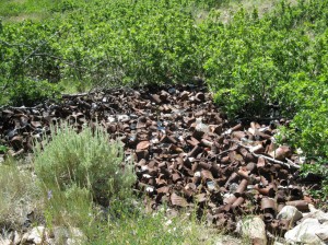
We hiked east through the meadow where our socks collected every burr an thistle 6″ above ground until we lost the “road” in the thick brush. I decided the best option would be to hike up the deep, cluttered bed of Cass Creek since it seemed like the most direct route to the saddle. [On our return hike, with the trail slightly easier to follow, we found the 4WD road does go the whole way up. It sort of jogs to the south of the meadow before narrowing between talus on the left and scrub oak on the right. The road hugs the slopes right of the thick scrub oak.] As the creek bed became steeper and harder to climb, I imagined the rushing torrents of snowmelt furrowing this gash just 3 or 4 months ago, leaving all these jammed, crooked tree hurdles tossed about like scattered kindling. I could tell from the impassibility and atmosphere of our surroundings that few people choose to come here. A dumping ground of old, rusty steel cans hinted that mining or ranching brought people here at one time, but judging from the pull tabs on the beer cans, it had been quite some time.
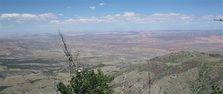
After 1,000′ of climbing and passing through a stand of aspens, we reached the saddle at about 8,500′. We could now look to the east and see the expanse of the Colorado Plateau.
In the distance were the LaSal and Abajo mountain ranges and in between, patches of crusty shades of brown, gray, dark green and red that recessed across in scattered levels; a flat landscape that never transitioned in a smooth manner until the dark green slopes of these mountains. The saddle had a hat-losing gale of wind that funneled at us from the south and whipped through the narrow and bare slopes on either side of us. We took shelter behind a downed ponderosa and ate a lunch which was had too light a ration of string cheese for Lexi’s liking. “I was trying to save weight,” I said, immediately realizing how stupid that sounded when I was bringing a bottle of beer to the top.
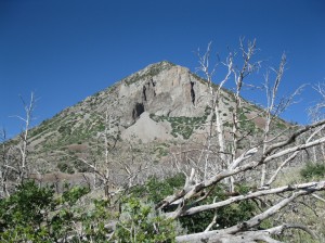
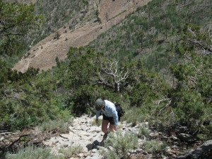
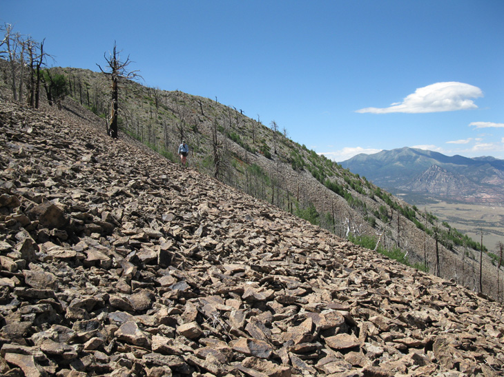
After a brief rest, we started north, up a steep but short scree slope that led to Cass Creek Peak. While it only stood at 9,400′, given the rough going we had experienced just to get this far, I didn’t question its worthiness for a summit brew.
We climbed the slope above the saddle for about 300 vertical feet and reached the ridge that ran west to the peak, staying mainly on the north side. Less than an hour after we left the saddle, we reached a cluster of small summits. I found a jar with a notebook on furthest mound which was the summit. The small notepad in the jar looked brand new, with no tattered pages and some slight fading on the cover. When I opened it to a random page near the top, it was empty, and it took until about 4 or 5 pages from the top for me to find an entry. The very first chronological entry was from a Coloradan who put the jar there in 2008. The next page had a rather boastful and foul mouthed entry from a year later. I’m not sure if it was tongue in cheek or not, but this couple was pretty proud of themselves for reaching the top, and used the “big-daddy” (or more fittingly, “big mother”) or curse words to describe the peak. Still, I applaud them for taking the time to come to such a remote place. The final entry was in May of this year. I’m sure not every climber has made an entry, but it seemed safe to say that this peak has averaged about one visit per year since 2008. Hell, this year, two groups had done it within 60 days of each other and I laughed as I thought of Cass Creek Peak having a busy year.
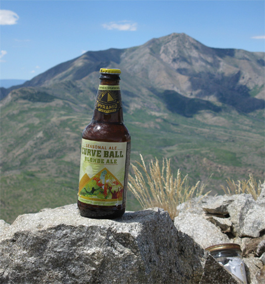
We spent about an hour on the top, Lexi drinking her Diet Coke and I drank a Pyramid Brewing Curveball Blonde Ale. Judging by the shards of brown glass we saw in the rocks, it wasn’t the first summit brew on Cass Creek but it would have been nice for them to pack out rather than christening the peak like some ship on a maiden voyage. If you can pack it in, you can pack it out. I was suspicious that it was the work of the overly proud couple from register.
I liked Curveball. It doesn’t have much of a bouquet or head but it was effervescently carbonated and the sharp, clean taste refreshed me as I looked northeast towards some of the bigger giants of the Henry Mountains like Mt. Pennell and Mt. Ellen.
The initial taste was clean, but I couldn’t really pick up any subtle flavors or after taste… maybe a little banana and light citrus. Overall, I found it refreshing and without excessive character. It is a lagered beer, so often times that takes some of the dimension out of a beer’s flavor, yet I’ll be the first to admit, I like lagers, mainly for their drinkability. The simplicity of a lager is what your craving, especially in the summer. This blonde ale had a golden, semi-clear color with just enough body without overloading you. Still, I would have liked just a bit more of a unique flavor to give it a little more distinction. Maybe it was fitting for Cass Creek Peak, a small but rewarding peak that doesn’t have the stature of some of its neighbors, but is still rewarding none the less.

